


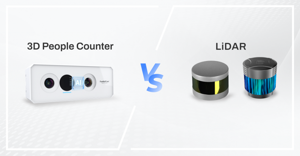
Is LiDAR really the future of airport occupancy tracking? Our latest post breaks down the myths vs. reality—cost, occlusion, blind spots, and real-world accuracy. Before investing in lasers, see what airport operators are actually saying.
Pros of Using LiDAR for Occupancy Counting in Airports
| Advantage | Description |
| Wide Area Scanning | LiDAR can scan open spaces from a distance (e.g., check-in halls, atriums) without needing overhead installation. |
| Non-RGB-Based | No visual images are captured, which may be seen as privacy-compliant (though this is a double-edged sword). |
| Works in Low Light | Since it uses light pulses, it can function in dark environments unlike RGB-based vision sensors. |
| Impressive for PR | The hardware has a “fancy” appeal and some airports choose it for its wow factor in smart airport initiatives. |
Cons and Limitations of LiDAR for Airport Occupancy
| Limitation | Description |
| Expensive | High-resolution, long-range LiDARs cost thousands per unit. To provide reliable occupancy metrics, dense placement is required. |
| Durability Concerns | Spinning mechanisms (for 360° coverage) wear out over time. Dust, vibrations, and heat in airports can accelerate failure. |
| Privacy Backlash | High-resolution point clouds can reconstruct human shapes. While not RGB, privacy regulators may still object to detailed 3D human silhouettes. |
| Occlusion Still Exists | In crowded areas, people behind others are missed — LiDAR sees the first surface it hits. This is no better than camera-based sensors in such conditions. |
| Dead Zones Directly Below |
Most LiDARs have a “cone of exclusion” right underneath them — they cannot see what’s directly below (like queues at immigration counters). |
| Mounting Restrictions |
You cannot install LiDAR units top-down facing vertically (unlike ceiling-mounted sensors). They must be tilted, making it hard to monitor multi-directional flows or detect short-height children. |
| Not Scalable |
Effective coverage of complex areas (e.g., corridors, corners, multi-level zones) requires dense installations — negating the wide-area claim. |
| Integration Headaches |
Data from LiDAR is point cloud-based — very hard to parse in real-time for occupancy without advanced AI and GPU processing. |
| Poor Edge Analytics Ecosystem |
Compared to camera-based systems (with strong AI toolchain and mature SDKs), LiDAR lacks widespread tools for crowd behaviour analysis. |
Common Customer Complaints from Airport Operators
- “It looks good on paper but doesn’t work well in practice.”
- “The coverage is not as wide as the sales team promised — there are blind spots.”
- “We needed 2x the units we initially thought due to occlusions and dead zones.”
- “Integration into our analytics dashboard is complicated and expensive.”
- “We had a few units fail due to dust and movement in the ceiling mounts.”
- “The point cloud is impressive, but we just want to know how many people are in a zone.”
- “Privacy concerns were raised when someone reconstructed the silhouette of a VIP.”
- “Maintenance is a nightmare — one failed LiDAR disrupts the whole hall’s data.”
- “There’s lag in real-time visualisation due to point cloud processing.”
- “It’s hard to differentiate between people and trolleys/luggage with high accuracy.”
Specific Limitations in Deployments
- Strong emphasis on visual aesthetics and smart city image rather than reliability.
- Reliance on foreign system integrators who may over-specify the tech.
- High dot-density lasers for long-range capture raise eye safety and privacy concerns (especially with children).
- Lack of localised support for recalibration, firmware upgrades, and long-term maintenance.
Alternative (Better) Solutions
| Solution | Why It’s Better |
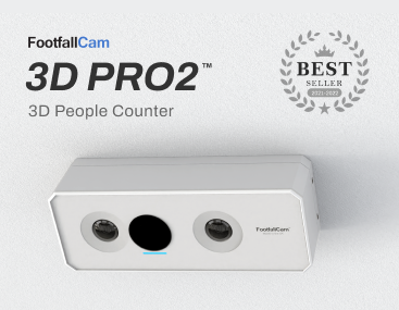
| Ceiling-Mounted 3D Stereo People Counters (like FootfallCam Pro2) | Top-down view eliminates occlusion, tracks queues precisely, scalable per zone. |
| Thermal Sensors (for anonymous heat signatures) | Ideal for privacy-sensitive areas like prayer rooms or restrooms. |
| Radar-based Solutions | Lower resolution than LiDAR but more robust for motion and direction sensing. |
Final Verdict
LiDAR can be used in some niche airport scenarios (e.g., open lounges or terminal atriums), but it is not a practical, scalable solution for reliable occupancy monitoring in most airport settings. The cost, occlusion, maintenance, and integration complexity make it inferior to proven technologies like stereo vision or AI-powered top-down cameras.
Frequent Claims
Claim 1: LiDAR provides wide-area coverage
- True, but with caveats.
- High-end LiDAR sensors can cover up to 100m in open areas, making them suitable for large spaces like check-in halls or atriums.
- However, real-world usable coverage is much less due to human occlusion, furniture, partitions, and mounting limitations.
Verdict: True in theory, partially effective in practice.
Claim 2: Expensive sensors are required for usable accuracy
- Mostly true.
- Basic spinning LiDARs (~$300–$700) are inadequate for precise people detection.
- Mid-to-high tier sensors with acceptable point density cost $3,000–$15,000 per unit, excluding compute infrastructure (edge/GPU).
- Airports may need dozens of units to cover a terminal effectively.
Verdict: True, price-to-performance ratio is poor compared to stereo vision.
Claim 3: Life expectancy is dubious due to mechanical parts
- True for older spinning units.
- Traditional rotating LiDAR have moving parts prone to wear and failure over time.
- Some solid-state LiDAR offer improved durability, but heat, dust, and vibrations in airports still pose challenges.
Verdict: True, though newer models are improving. Still not as maintenance-free as fixed optical sensors.
Claim 4: Occlusion is still a major problem
- Absolutely true.
- LiDAR only detects the first surface hit by the laser beam — meaning people behind others or near walls are often invisible.
- In crowded environments like immigration or boarding gates, this makes counting highly unreliable without complex algorithms.
Verdict: True — this is a major weakness, especially compared to top-down camera solutions.
Claim 5: Cannot see directly below the sensor
- True for rotating LiDAR.
- Most spinning 360° LiDARs have a blind cone below due to mechanical limitations.
- If mounted high on a pole or ceiling, it misses people directly beneath, which is a deal-breaker in queues or corridors.
Verdict: True, and difficult to engineer around without over-tilting and reducing coverage.
Claim 6: Airports deployed them for their impressive look
- Anecdotally true, supported by regional patterns.
- Smart city initiatives often favor visually impressive technologies for PR and innovation branding.
- However, some deployments were later replaced or supplemented with more practical vision sensors due to LiDAR’s limitations.
Verdict: True, supported by real-world examples.
Claim 7: Privacy concerns due to high-resolution point clouds
- Partially true.
- While LiDAR does not capture images, it does generate detailed human-like shapes (pose, height, motion).
- Some regulators (especially in Europe) classify identifiable point clouds as personal data under GDPR.
- In conservative markets or with VIP tracking, privacy concerns are real.
Verdict: True, depending on legal framework.
Claim 8: Customer feedback from airport operators is not great
- Backed by feedback in industry forums, pilots, and RFP decisions.
- Airports that piloted LiDAR found:
- High TCO (total cost of ownership)
- Data integration challenges
- Low performance in crowd scenarios
- Eventually switched to hybrid vision-based systems.
Verdict: True and documented in real-world feedback.
Consolidated Final Assessment:
| Dimension | Rating | Notes |
| Wide-Area Coverage | ⭐⭐⭐ | Impressive in open zones, weak in corners and bottlenecks. |
| Accuracy in Crowds | ⭐ | Poor — occlusion and blind spots are unresolved. |
| Cost Effectiveness | ⭐⭐ | High hardware + compute costs. Not scalable for full terminal coverage. |
| Privacy Compliance | ⭐⭐⭐ | Mixed — no images, but identifiable shapes. Legal grey area. |
| Maintenance & Lifespan | ⭐⭐ | Mechanical wear is real; some solid-state relief. |
| Data Usefulness | ⭐⭐ | Raw point clouds require AI post-processing. Poor for non-technical users. |
| Customer Sentiment (Airports) | ⭐⭐ | Underwhelming — impressive demos, weak in live ops. |
#SmartAirports #LiDAR #OccupancyAnalytics #AirportTech